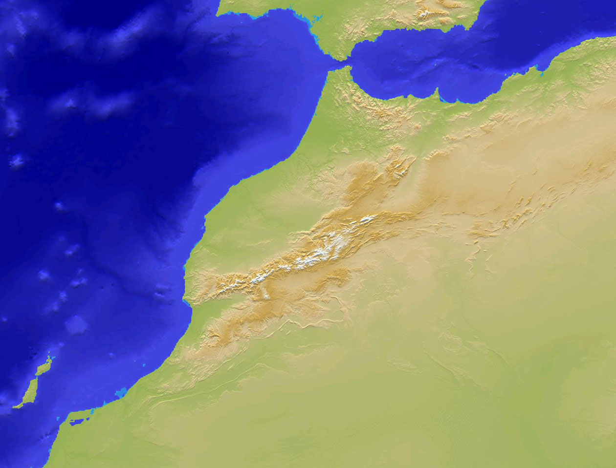
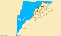
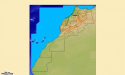
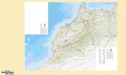
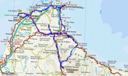
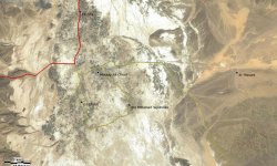
Complete mapping of Morocco:

From north to south and from east to west, all the Moroccan territory is covered.

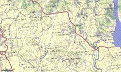
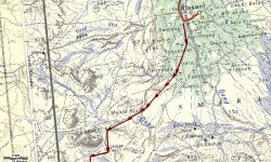
GPS Extrem'Sud by Gandini comes with a collection of pre-installed maps covering almost all needs :

  • Vector map at 1/5000, including the Moroccan Sahara (TomTom).
  • Map 1/1000000 without the Moroccan Sahara (Reise Know-How)
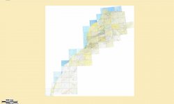
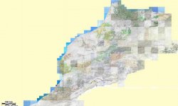
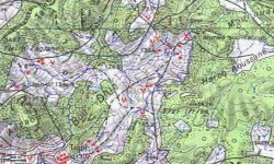
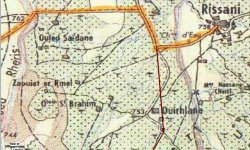
  • Topographic map at scale 1/250, 000 including the Moroccan Sahara (IGN).
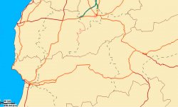
  • Topographic map at 1/100, 000 without the Moroccan Sahara (IGN).
  • Map of reliefs including the Moroccan Sahara (for 3D display)
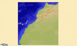
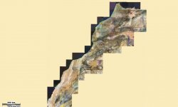
  • Satellite map including the Moroccan Sahara (NASA).

Western European Routable Vector Maps:

The GPS Extrem'Sud by Gandini is delivered with TomTom roadmaps for door-to-door and vocal guidance of 21 countries in Western Europe:
France, Great Britain, Ireland, Finland, Sweden, Norway, Denmark, Germany, Netherlands, Belgium, Luxembourg, Austria, Switzerland, Italy, Greece, Monaco, Andorra, Liechtenstein, San Marino, Spain

OSM maps of all countries of the world:

The GPS Extrem'Sud by Gandini is delivered with collaborative maps OSM (OpenStreetMap) from all the countries of the world, routable but not address search.

 Optional: 

In addition to the TomTom and topo maps of Tunisia and Mauritania, available in optional packs with Gandini routes and corresponding guides, and TomTom maps of Eastern Europe, many routable or topographic maps are available. Consult us.
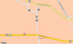
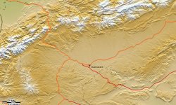
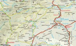
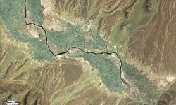
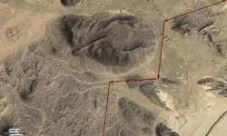
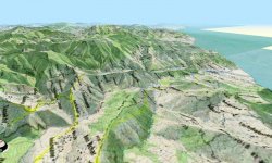
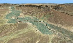
SCREENSHOTS

Vector map (total hold)
Vector Map - scale 0.1% (438m/pixel)
Vector Map - 100% scale (0.40 m / pixel)
Map of reliefs (total hold)
Reliefs map with vector map superimposed
Map of reliefs & vector map (212m/pixel)
Roadmap scale 1/1 000 000 (total hold)
Road map - 100% (145m/pixel)
Roadmap with overlay route planner (145m/pixel)
Topographic map scale 1/250000 (total hold)
Topographic map scale 1/250000 (32m/pixel)
Topographic map scale 1/250000 with a route Gandini overlay
Topographic map scale 1/100 000 (total hold)
Topographic map scale 1/100 000 (100% - 7m/pixel)
Topographic map scale 1/100, 000 with a route overlay (100% - 7m/pixel))
Satellite view (total hold)
Satellite view 100% (12m pixel)
Satellite View overprinted with a route Gandini (100% - 12m per pixel)
Topographic map scale 1/100 000 in hyper-realistic 3d display
3D hyper-realistic satellite view
Overlay vector map and satellite view


gps gandini offroad
gps gandini onroad
gps gandini boussole