")
")
")
")
Sometimes you want to know what are the routes described by the Guides Gandini near the place where you are (current GPS position) or where you go (Current destination, always for the GPS, which implies also have that you previously programmed). This feature of the GPS Extrem'Sud by Gandini allows you to optimize your stay without having to learn by heart the Moroccan geography...
STEP BY STEP
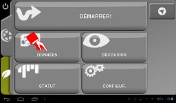
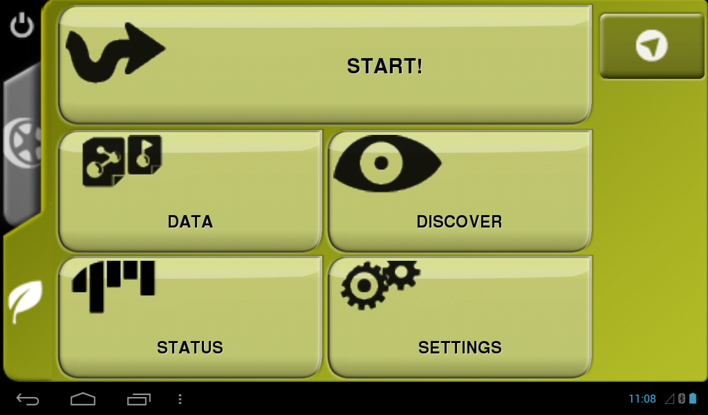
01-Tableau de bord : Clic sur DONNÉES
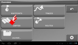
02-A l'écran suivant : Clic sur WAYPOINTS
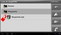
03-Sélectionner le dossier Waypoints et l'ouvrir
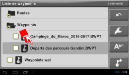
04-Sélectionner le fichier Départ des parcours Gandini
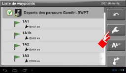
05-Ouvrir le fichier pour afficher la liste des waypoints plus cliquez sur l'icone Outils
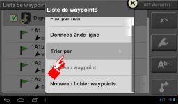
06-Sur le menu déroulant, cliquez sur Trier par
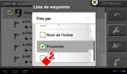
07-Faites défiler pour trouver Proximité et sélectionnez
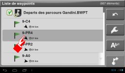
08-Sélectionnez un parcours et retenez en le nom
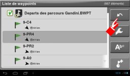
09-Revenez au Tableau de Bord
Then follow the tutorial How to join a route described in a Guide Gandin ?. In the above example, 9-PR4, ask for guidance to the PR4 track of volume 9 (the first digit before the dash always indicates the volume, the group following the dash indicates the course reference).